- Destinations
- Holiday Ideas
-
Popular India Tourism Destinations by Interest
-
-
Popular India Tourism Destinations by Interest
-
Adventure Tourism
-
- Packages
- Places to Stay
- Weekend Getaways
- InternationalNEW


NEW

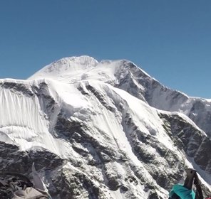
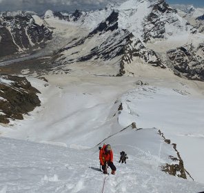
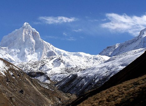
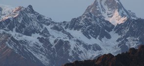
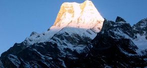
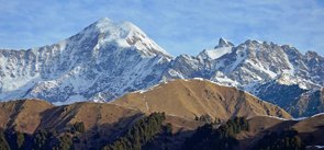
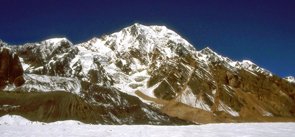
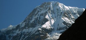
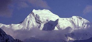
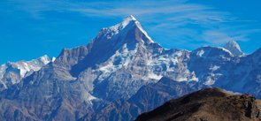
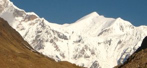
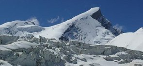
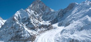
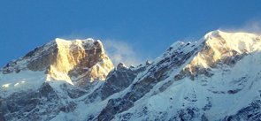
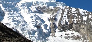
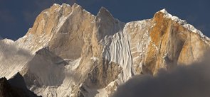
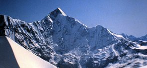
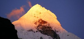
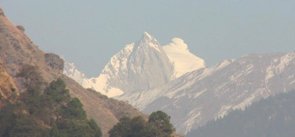
Thalay Sagar Peak Uttarakhand
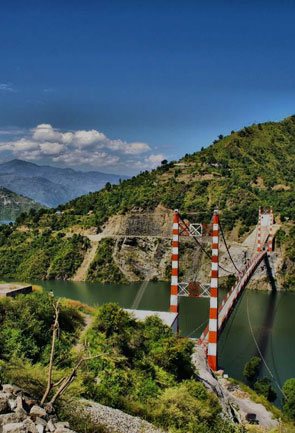
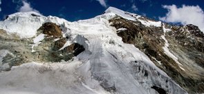
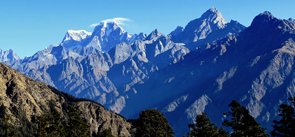
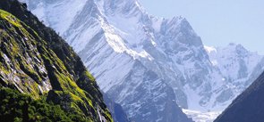
Pride possession of the Garhwal Himalayas, Thalay Sagar peak is situated in the Uttarkashi district of Uttarakhand. It is the phenomenal part of the Gangotri group of peaks that stands to the south of the Gangotri glacier and is just about 10 km away from the hindu religious site of Gaumukh; the source of the Bhagirathi river. With the elevation of 6,904 m above the sea level, Thalay Sagar peak is considered to be the tallest peak in the south side of the Gangotri glacier after Kedarnath. Jogen group of peaks lies adjacent to this peak and the charming lake Kedartal flows at its base.
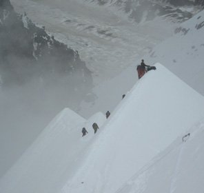
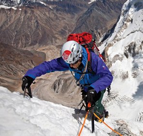
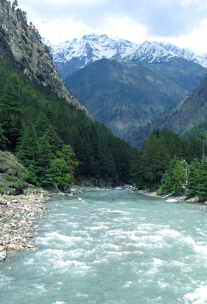
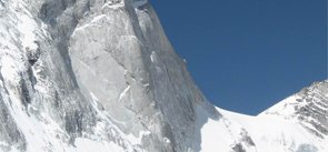
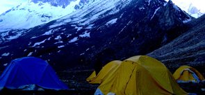
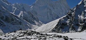
The owner of dramatic topography and tricky terrains, Thalay Sagar peak provides with the challenging experience of the steep rock climb to its explorers. Hence, it is considered to be the dream peak of the adventure lovers for trekking and peak climbing activities in the Uttarakhand Himalayas. Considering it to be a difficult peak, this extraordinary mountain was not attempted by the climbers until 1970s. Finally in the year 1979 it was first ascended by an Anglo-American team consisting of three members Roy Kligfield, John Thackray, and Pete Thexton. The route they followed was via the northwest couloir and ridge. The other climbing routes for mountaineering in Thalay Sagar peak of Uttarakhand are the southeast ridge and North face. Whereas, the first successful Indian ascent was accomplished in the year 2008 by the famous climber from Mountaineers Association Of Krishnanagar (MAK), West Bengal i.e Basanta Singha Roy, who was accompanied by three Sherpas. The starting point for the trek this peak is Uttarkashi which can be reached easily from Dehradun. After reaching Uttarkashi, one can easily find buses to reach Gangotri. From where Tapovan lies at a trekking distance, acting as the base camp for Thalay Sagar peak expedition.
Explore Other Popular Peaks in Uttarakhand
Abi Gamin Peak
Arwa Crest Peak
-
Arwa Spires Peak
Arwa Tower Peak
Avalanche Peak I & II
Balakun Peak
Bamba Dhura Peak
Bandarpunch I & II Peaks
Burphu Dhura Peak
Changabang Peak
Changuch Peak
Chaudhara Peak
Chaukhamba Peak
Chiring We Peak
Dunagiri Peak
Gauri Parbat Peak
Hardeol Peak
Hathi Parbat Peak
Kalanag Black Peak
Kamet Peak
Kedarnath Peak
Kuchela Dhura Peak
Meru Peak
-
Nagalaphu Peak
Nanda Devi Peak
Nanda Ghunti Peak
Nanda Khat Peak
Nanda Kot Peak
Nilkantha Peak
Panchachuli Peak
Shivling Peak
-
Suitilla Peak
Swargarohini Peak
Tirsuli Peak