- Destinations
- Holiday Ideas
-
Popular India Tourism Destinations by Interest
-
-
Popular India Tourism Destinations by Interest
-
Adventure Tourism
-
- Packages
- Places to Stay
- Weekend Getaways
- InternationalNEW


NEW

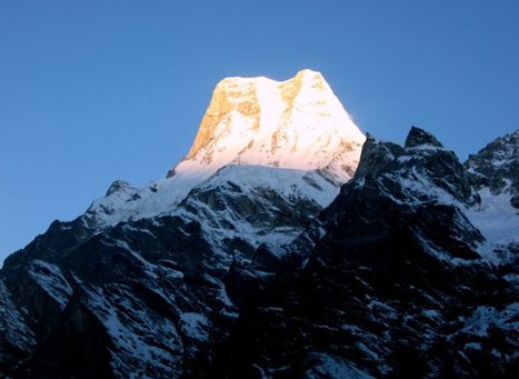
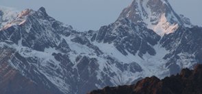
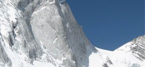
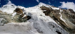
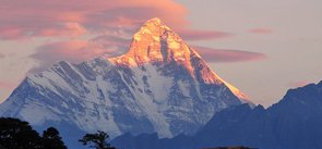
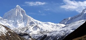
Balakun Peak Uttarakhand
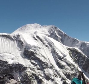
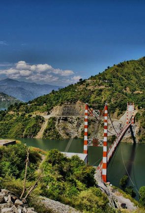
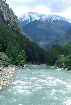
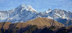
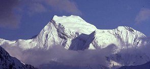
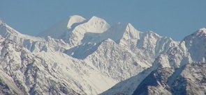
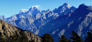
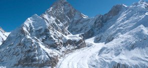
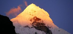
Situated in the Chamoli district of Uttarakhand; Balakun Peak has its summit at an altitude of 6,471 m in the Garhwal Himalayas. Though not the tallest, but this beautifully carved snowclad peak is ranked as the 26th highest mountain in India and 11th in Uttarakhand, because of its extremely high elevation. Balakun is situated 16 km away to the northwest direction of Badrinath, between the Bhagirathi Kharak glacier and Satopanth glacier. These two glaciers rise from the eastern slopes of 7140 m tall Chaukhamba peak and swaddle around the Balakun Peak, later becoming the source of the Alaknanda river that originates with the melting of these two glaciers lying at a height of 3,641 m. The river is considered sacred by the Hindus; therefore, it is the best attraction for the pilgrims.
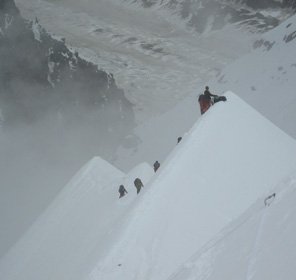
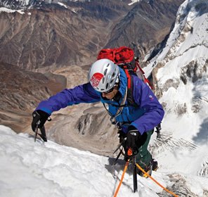
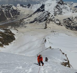
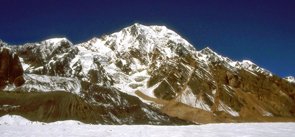
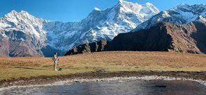
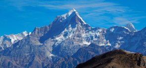
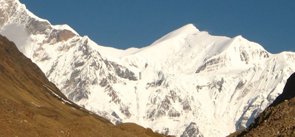
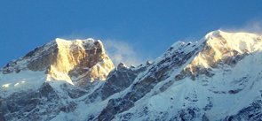
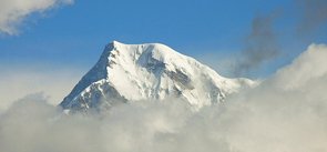
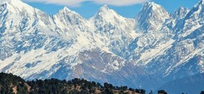
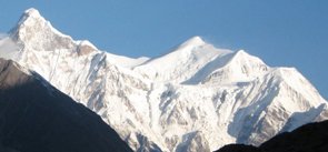
Climbing and trekking are a few adventure activities Balakun Peak of famous for. But, the beauty of the Balakun peak is in its enchanting location where it is surrounded by many handsome peaks showering amazing sight to the Balakun peak climbers. It is placed to the north of the Kunaling Peak and to the south of the Arwa group. Nilkanth Peak also lies in its north-east direction. Mesmerising in its surrounding views, Balakun peak is a treat for many adventure enthusiasts who have keen interest in climbing the inviting peaks of the Uttarakhand Himalayas.
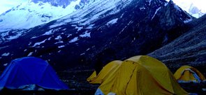
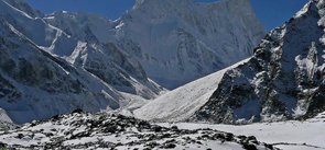
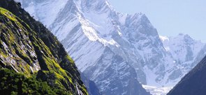
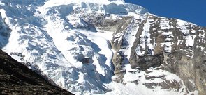
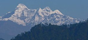
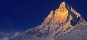
For an exciting experience of mountaineering in Uttarakhand, Balakun peak is a perfect lure that ties in the Gangotri region of peaks. The adventurous trek to this peak starts from Badrinath which is the nearest accessible place by road. The flourishing path of the peak woos its trekkers with the enchanting sights of the nearby snow-dressed peaks. As per the peakery records, the first climb to this peak was made in the year 1973 by a six-man team ITBP i.e. Indo-Tibet Border Police, which was led by Hukum Singh.
Explore Other Popular Peaks in Uttarakhand
Abi Gamin Peak
Arwa Crest Peak
-
Arwa Spires Peak
Arwa Tower Peak
Avalanche Peak I & II
Bamba Dhura Peak
Bandarpunch I & II Peaks
Burphu Dhura Peak
Changabang Peak
Changuch Peak
Chaudhara Peak
Chaukhamba Peak
Chiring We Peak
Dunagiri Peak
Gauri Parbat Peak
Hardeol Peak
Hathi Parbat Peak
Kalanag Black Peak
Kamet Peak
Kedarnath Peak
Kuchela Dhura Peak
Meru Peak
-
Nagalaphu Peak
Nanda Devi Peak
Nanda Ghunti Peak
Nanda Khat Peak
Nanda Kot Peak
Nilkantha Peak
Panchachuli Peak
Shivling Peak
-
Suitilla Peak
Swargarohini Peak
Thalay Sagar Peak
Tirsuli Peak