- Destinations
- Holiday Ideas
-
Popular India Tourism Destinations by Interest
-
-
Popular India Tourism Destinations by Interest
-
Adventure Tourism
-
- Packages
- Places to Stay
- Weekend Getaways
- InternationalNEW


NEW

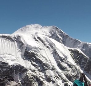
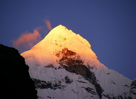
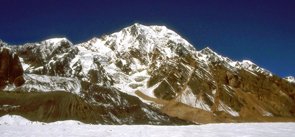
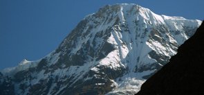
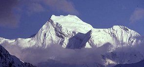
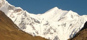
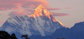
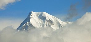
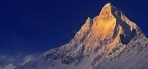
Nilkantha Peak Uttarakhand
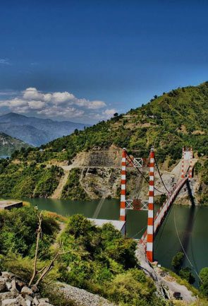
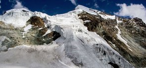
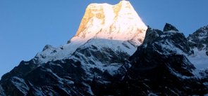
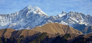
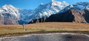
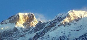
Dramatically overlooking the valley of Alaknanda river; the high rising towers of mount Nilkantha is the major peak of the Garhwal Himalayas. It is situated in the Chamoli district of Uttarakhand. ‘Nilkantha’ is one of the many epithets of Lord Shiva, that literally means the God with blue throat. As per legends, the peak is considered to be the epitome of anger of Lord Shiva who got displeased with the sins of priests and erected a giant mountain on the way between Kedarnath and Badrinath. The peak has an amazing elevation of 6,596 m above the sea level, which mounts 3,474 m above the well-known Hindu pilgrimage site of Badrinath. The travel distance from Nilkantha peak to Badrinath is only 9 km to the east.
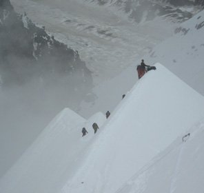
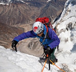
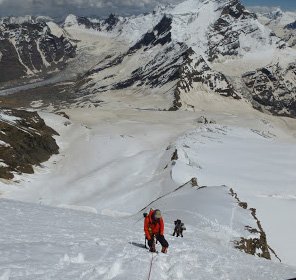
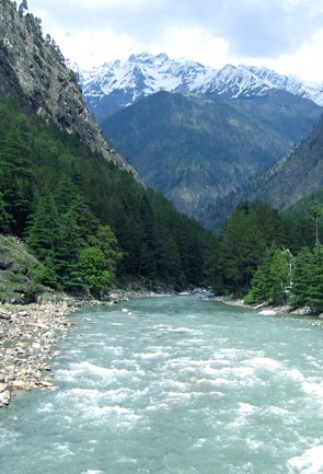
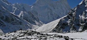
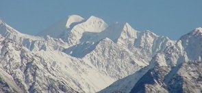
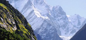
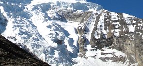
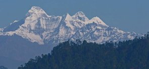
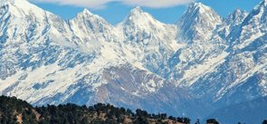
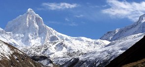
The experience of mountaineering in Uttarakhand is phenomenal due to the beautiful sights it offers. On the northwest side of Nilkantha lies the Satopanth Glacier and the Panpatia Glacier on the southwest side. Frank Smythe, a renowned mountaineer once described the peak as "second only to Siniolchu in Himalayan beauty”. True to words, Nilkantha peak beauty is really unmatchable, and that is the reason why it is famous among the adventure enthusiasts looking to undergo thrilling activities like trekking and peak climbing in the Uttarakhand Himalayas. Hence, contributing in the ever-growing popularity of Uttarakhand tourism spreading all over the world.
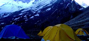
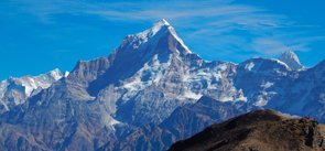
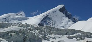
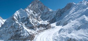
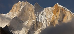
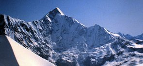
Nilkantha peak is a difficult climb that has witnessed around seven failed attempt before it was finally scaled on 3rd June 1974 by a team of the Indo-Tibetan Border Police which was led by S. P. Chamoli. The route they chose was via the north face. Other than this, there are two more routes i.e west ridge and northeast ridge that are used by the mountaineers to reach to its summit. The trek for Nilkantha peak starts from Badrinath following the trek through Mana, Hanuman Chatti, Laxmi Van that finally leads to Nilkantha Peak.
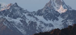
Explore Other Popular Peaks in Uttarakhand
Abi Gamin Peak
Arwa Crest Peak
-
Arwa Spires Peak
Arwa Tower Peak
Avalanche Peak I & II
Balakun Peak
Bamba Dhura Peak
Bandarpunch I & II Peaks
Burphu Dhura Peak
Changabang Peak
Changuch Peak
Chaudhara Peak
Chaukhamba Peak
Chiring We Peak
Dunagiri Peak
Gauri Parbat Peak
Hardeol Peak
Hathi Parbat Peak
Kalanag Black Peak
Kamet Peak
Kedarnath Peak
Kuchela Dhura Peak
Meru Peak
-
Nagalaphu Peak
Nanda Devi Peak
Nanda Ghunti Peak
Nanda Khat Peak
Nanda Kot Peak
Panchachuli Peak
Shivling Peak
-
Suitilla Peak
Swargarohini Peak
Thalay Sagar Peak
Tirsuli Peak