- Destinations
- Holiday Ideas
-
Popular India Tourism Destinations by Interest
-
-
Popular India Tourism Destinations by Interest
-
Adventure Tourism
-
- Packages
- Places to Stay
- Weekend Getaways
- InternationalNEW


NEW

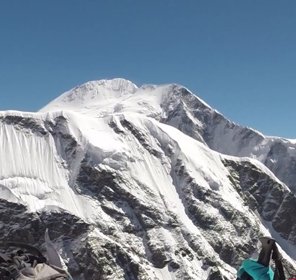
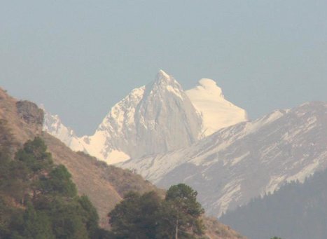
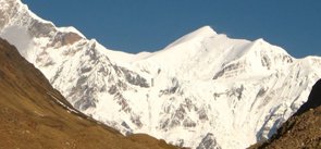
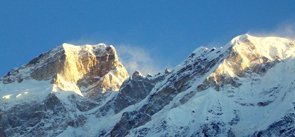
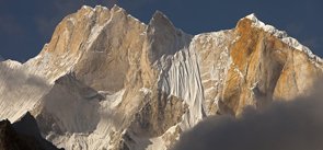
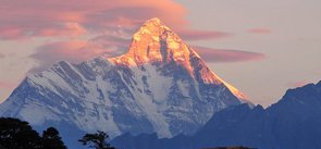
Swargarohini Peak Uttarakhand
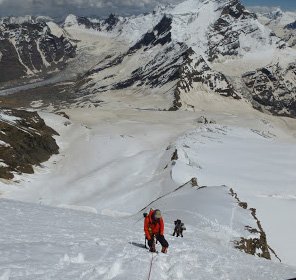
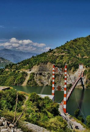
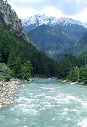
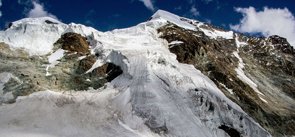
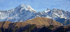
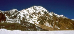
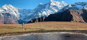
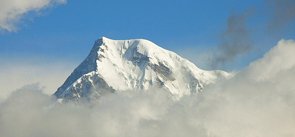
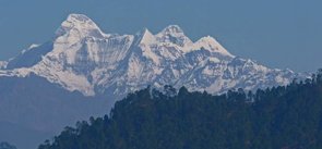
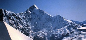
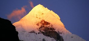
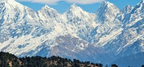
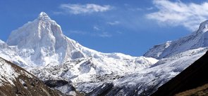
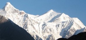
In the Bandarpunch range of the Garhwal Himalayas lies the Swargarohini massif that is situated in the Uttarkashi district of Uttarakhand. This giant massif includes the group of four separate peaks namely Swargarohini I II III and IV, out of which Swargarohini I is considered to be the main peak. Though, it is not tallest peak of the Bandarpunch range but is still famous because of its unique topography and dramatic terrain. It is consisted of two summits i.e the eastern and the western summit. The western summit has an elevation of 6,252 m above the sea level, while the eastern summit is slightly lower than the western summit. This two-headed snow clad peak stands on the west of the Gangotri group of mountains, and provide as the source of the Tons river. Swargarohini peak, along with the Bandarpunch massif, act as a watershed between the Yamuna and Bhagirathi river.
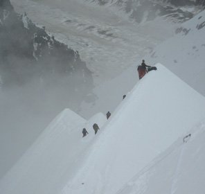
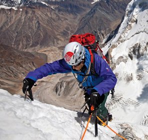
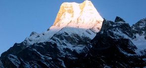
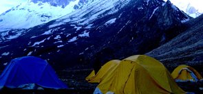
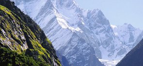
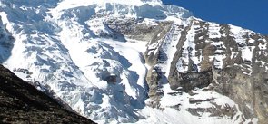
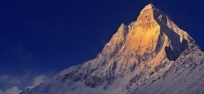
Blessed with amazing views of the nearby peaks and river, Swargarohini peak is one of the peaks that is popular among the explorers for trekking and peak climbing expeditions in the Uttarakhand Himalayas. It has witnessed many failed attempts before it was finally climbed in the year 1974 by team consisted of Charles Clarke (England); Dilsher Singh Virk, Bruce MacKinnon and Peter Fuhrman (Canada); and Rattan Singh and Mohan Singh (India) via the west face route. Other than this route, mountaineering in Swargarohini peak of Uttarakhand is also possible from South face, East-southeast ridge and Ruinsara valley on the north side. Giving a boost to Uttarakhand tourism, the trek to Swargarohini peak starts from the holy town of Badrinath, which is the nearest motorable place that can be reached from the well-connected city of Haridwar. After reaching Badrinath, the route follows Man-Lakshmiban-Chakratirth-Sathopanth that finally reaches the Swargarohini base camp.
Explore Other Popular Peaks in Uttarakhand
Abi Gamin Peak
Arwa Crest Peak
-
Arwa Spires Peak
Arwa Tower Peak
Avalanche Peak I & II
Balakun Peak
Bamba Dhura Peak
Bandarpunch I & II Peaks
Burphu Dhura Peak
Changabang Peak
Changuch Peak
Chaudhara Peak
Chaukhamba Peak
Chiring We Peak
Dunagiri Peak
Gauri Parbat Peak
Hardeol Peak
Hathi Parbat Peak
Kalanag Black Peak
Kamet Peak
Kedarnath Peak
Kuchela Dhura Peak
Meru Peak
-
Nagalaphu Peak
Nanda Devi Peak
Nanda Ghunti Peak
Nanda Khat Peak
Nanda Kot Peak
Nilkantha Peak
Panchachuli Peak
Shivling Peak
-
Suitilla Peak
Thalay Sagar Peak
Tirsuli Peak