- Destinations
- Holiday Ideas
-
Popular India Tourism Destinations by Interest
-
-
Popular India Tourism Destinations by Interest
-
Adventure Tourism
-
- Packages
- Places to Stay
- Weekend Getaways
- InternationalNEW


NEW

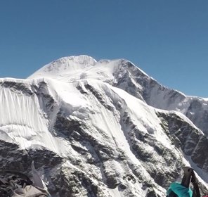
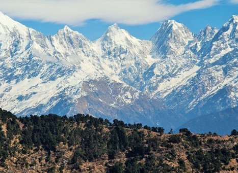
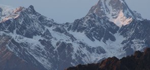
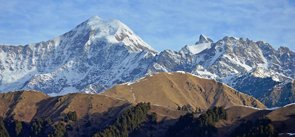
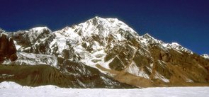
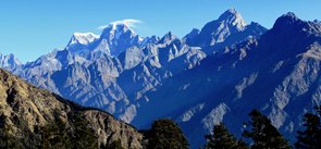
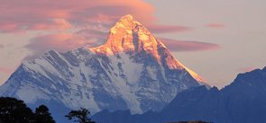
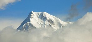
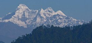
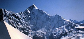
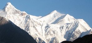
Panchachuli Peak Uttarakhand
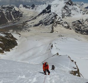
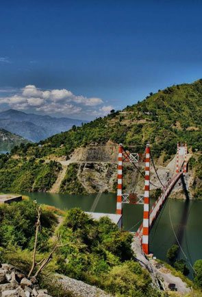
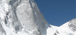
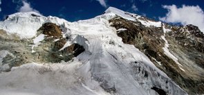
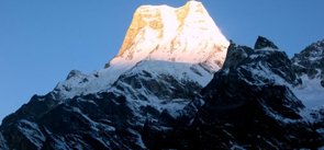
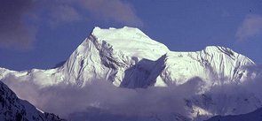
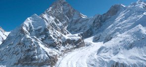
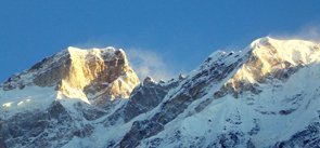
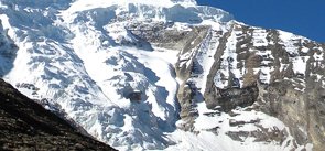
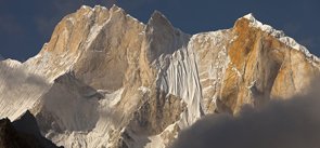
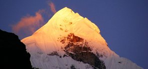
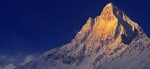
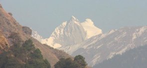
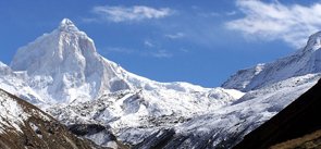
As the name suggests, Panchachuli is the group of five Himalayan peaks situated near the Pithoragarh district, that falls in the eastern Kumaon region of Uttarakhand. The name of the group is derived from the legendary Pandavas’s ‘five chulis’ which means cooking hearths. It is believed that Pandavas cooked their last meal here before proceeding towards the heavenly abode. While some state that once had been the part of the Nepal Kingdom the term ‘chulis’ had been derived from their Nepalese language which literally means ‘peaks’. Hence the name is Panchachuli i.e the five peaks. With the altitude ranging from 6,334 metres to 6,904 metres above the sea level, the peaks form the watershed between Gori and Dharmaganga valleys. Panchachuli lies around 138 km away from Pithoragarh, also dividing the Gori Ganga-Lassar Yankti.
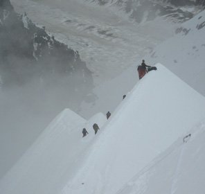
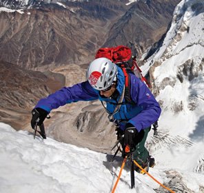
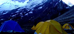
The five poised snow clad mountains of the Panchachuli massif are numbered from northwest to southeast, out of which Panchachuli II is the tallest of all the peaks, which was first climbed successfully on 26th May 1973 by an Indo-Tibetan Border Police expedition led by Mahendra Singh. Famous for trekking and peak climbing kind of adventure activities, Panchachuli massif is one of the most loved mountaineering destination in Uttarakhand that is visible from most of the hill stations of the Kumaon region. The trek for the Panchachuli massif starts from Munsiyari, which act as the starting point for most of the treks to the Kumaon Himalayas. It is the place that is accessible by motorable roads from the major cities of Uttarakhand that further connects it to the other states of India through different modes of transport. With the spreading of the magnificence and glory of such beautiful peaks of Uttarakhand along with the growing interest of the adventurist, the tourism in the state is also flourishing in high percentage.
Explore Other Popular Peaks in Uttarakhand
Abi Gamin Peak
Arwa Crest Peak
-
Arwa Spires Peak
Arwa Tower Peak
Avalanche Peak I & II
Balakun Peak
Bamba Dhura Peak
Bandarpunch I & II Peaks
Burphu Dhura Peak
Changabang Peak
Changuch Peak
Chaudhara Peak
Chaukhamba Peak
Chiring We Peak
Dunagiri Peak
Gauri Parbat Peak
Hardeol Peak
Hathi Parbat Peak
Kalanag Black Peak
Kamet Peak
Kedarnath Peak
Kuchela Dhura Peak
Meru Peak
-
Nagalaphu Peak
Nanda Devi Peak
Nanda Ghunti Peak
Nanda Khat Peak
Nanda Kot Peak
Nilkantha Peak
Shivling Peak
-
Suitilla Peak
Swargarohini Peak
Thalay Sagar Peak
Tirsuli Peak