- Destinations
- Holiday Ideas
-
Popular India Tourism Destinations by Interest
-
-
Popular India Tourism Destinations by Interest
-
Adventure Tourism
-
- Packages
- Places to Stay
- Weekend Getaways
- InternationalNEW


NEW

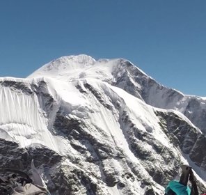
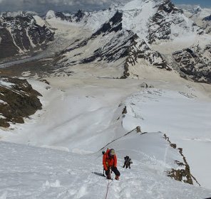
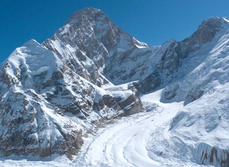
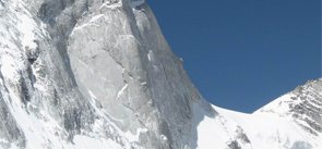
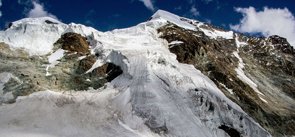
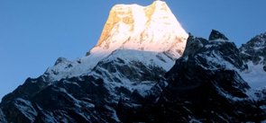
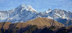
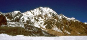
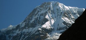
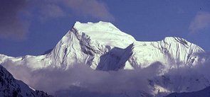
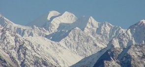
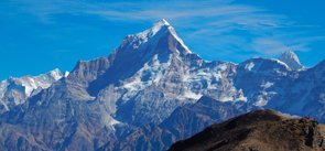
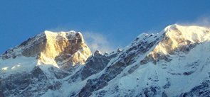
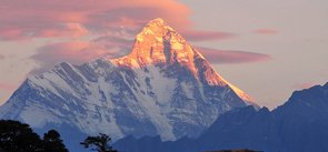
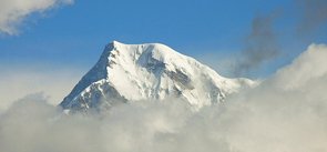
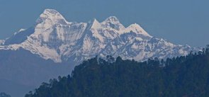
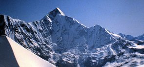
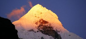
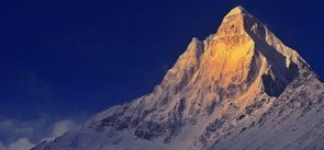
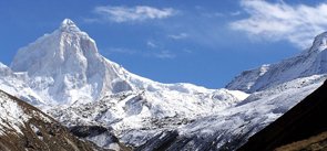
Kamet Peak Uttarakhand
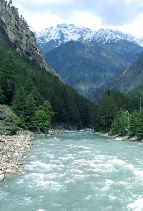
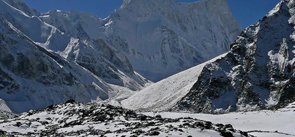
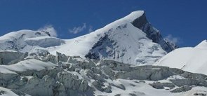
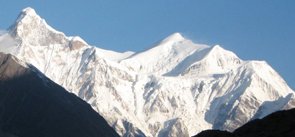
Kamet peak lies in the Chamoli district of Uttarakhand owing an inspiring elevation of 7,756 m above the sea level. After Nanda Devi, it is considered to be the second tallest peak in the Garhwal region of Uttarakhand. When seen from a distance, the geographical structure of the peak resembles like a giant pyramid topped by a flat summit area with two peaks. Kamet peak is surrounded by Paschim Kamet glacier in the west, Purbi Kamet glacier in the east and the Raikana glacier system.
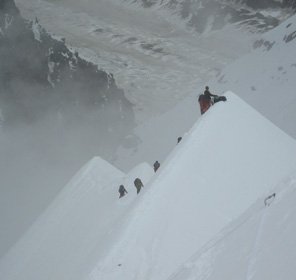
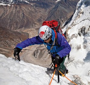
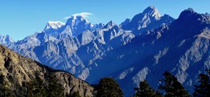
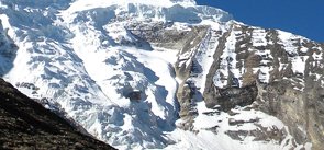
The attempt to climb the peak started in the year 1855, but was not conquered until 1931 by Frank Smythe, Eric Shipton, R.L. Holdsworth and Lewa Sherpa, members of a British expedition. It was the first summit over 25,000 ft to be climbed and was the highest summit to be reached until then. The interesting fact about this ascend is that, on their way back from the peak, the team discovered a hidden paradise nurturing in the lap of nature which is now known as the Valley of flowers. Since then Kamet peak has become the favourites of the adventure lovers for their trekking and peak climbing activities in Uttarakhand. Among the easiest of the climbing routes are from the Southwest face, East Kamet glacier and the Southeast face. For mountaineering in the Kamet peak of the Uttarakhand Himalayas, the standard route begins from the East Kamet glacier, ascending via Meade’s col that involves steep gullies, several glacier climbs and a rock wall. This icy peak demands the final ascent through steep snow.
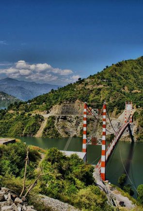
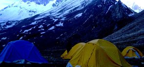
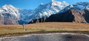
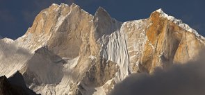
Trekking to the Kamet peak starts from Joshimath which is easily accessible through motorable roads from the major cities of Uttarakhand, that are further connected via train and flights to other major cities in India. Due to the unpredictability of the weather up in the mountains, it is always advisable to check for the weather conditions before starting off with the trek.
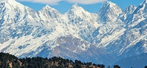
Explore Other Popular Peaks in Uttarakhand
Abi Gamin Peak
Arwa Crest Peak
-
Arwa Spires Peak
Arwa Tower Peak
Avalanche Peak I & II
Balakun Peak
Bamba Dhura Peak
Bandarpunch I & II Peaks
Burphu Dhura Peak
Changabang Peak
Changuch Peak
Chaudhara Peak
Chaukhamba Peak
Chiring We Peak
Dunagiri Peak
Gauri Parbat Peak
Hardeol Peak
Hathi Parbat Peak
Kalanag Black Peak
Kedarnath Peak
Kuchela Dhura Peak
Meru Peak
-
Nagalaphu Peak
Nanda Devi Peak
Nanda Ghunti Peak
Nanda Khat Peak
Nanda Kot Peak
Nilkantha Peak
Panchachuli Peak
Shivling Peak
-
Suitilla Peak
Swargarohini Peak
Thalay Sagar Peak
Tirsuli Peak