- Destinations
- Holiday Ideas
-
Popular India Tourism Destinations by Interest
-
-
Popular India Tourism Destinations by Interest
-
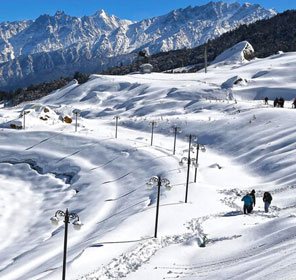
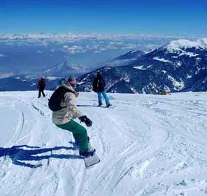
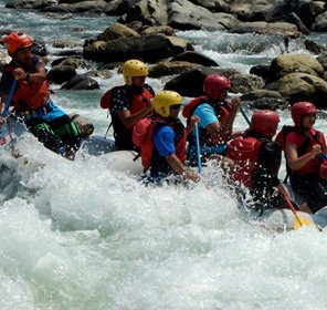
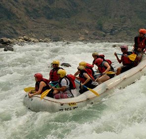
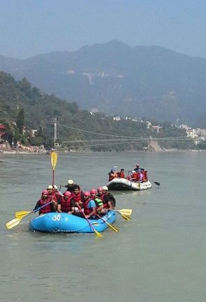
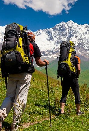
Adventure Tourism
-
- Packages
- Places to Stay
- Weekend Getaways
- InternationalNEW


NEW

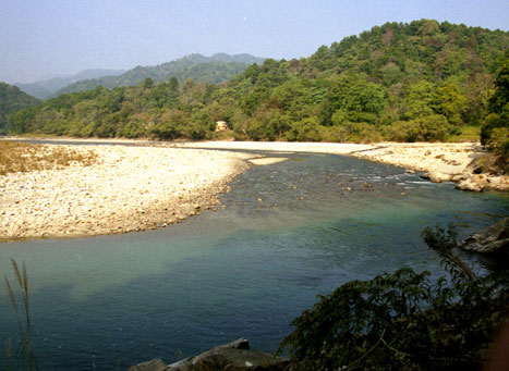
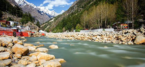
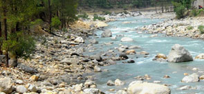
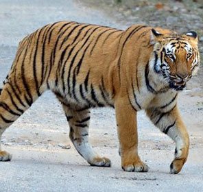
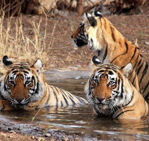
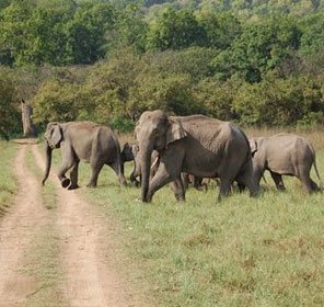
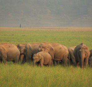
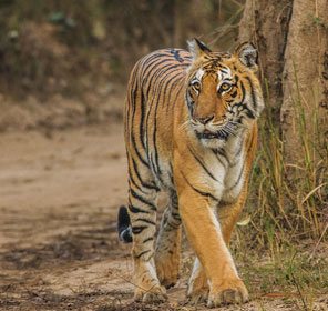
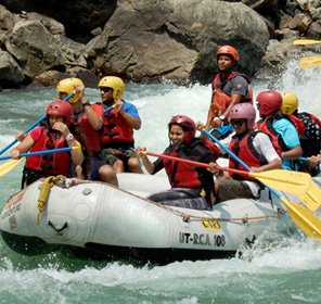
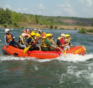
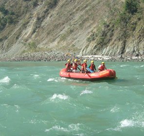
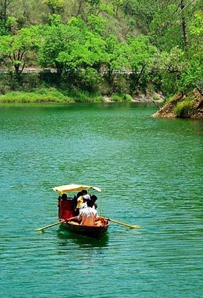
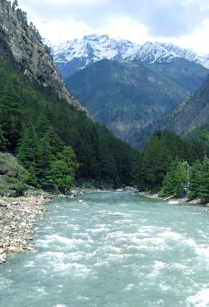
Ramganga River Uttarakhand
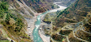
Ramganga River starts its journey at an elevation of 3,110 metres in the lower Himalayas of Garhwal, near Lohba village. Coming from such a high altitude, the river comes down through a mountainous terrain and forms many falls and rapids in its course. The plains start at Kalagarh, which is located near the border of the Garhwal district.
Ramganga Dam is constructed 3 km upstream of Kalagarh village; it is also known as Kalagarh Dam. The Ramganga Dam has a live storage capacity of 2,190 million cubic metres. It generates hydroelectric power and facilitates irrigation.
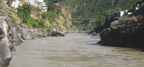
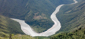
The river passes through Uttarakhand and Uttar Pradesh only. Cities of Moradabad, Badaun, Hardoi, Bareilly, Shahjahanpur are placed on the banks of Ramganga. Ramganga River is joined by several tributaries, some of the important ones are - Gangan, Kho, Kosi, Deoha and Aril. The catchment area of Ramganga basin is 32,493 sq. km (approx.).
Ramganga is the first major tributary which joins Ganga. Near Kanauj in Fategarh district, going on a south-eastern direction, Ramganga meets Ganga on its left bank. At the point of confluence, Ramganga has completed 596 km distance from its source of origin.