- Destinations
- Holiday Ideas
-
Popular India Tourism Destinations by Interest
-
-
Popular India Tourism Destinations by Interest
-
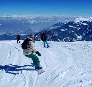
Adventure Tourism
-
- Packages
- Places to Stay
- Weekend Getaways
- InternationalNEW


NEW

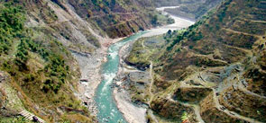
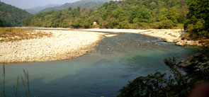
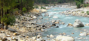
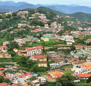
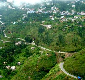
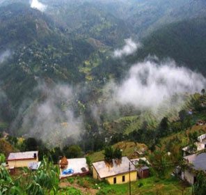
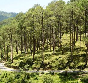
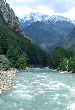
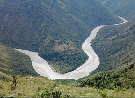
Kali River Uttarakhand
At the height of 3,600 metres, the River Kali takes birth in the Trans-Himalayan zone of the Greater Himalayas. It is also called by the names of Mahakali, Kali Ganga and Sharda River. Till the river travels from Kalapaani to Tanakpur, Kali River continuously flows between India and Nepal, forming a liquid border.
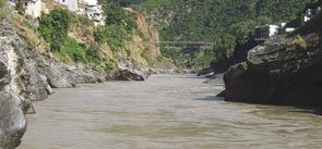
Kali Ganga is joined by Dhauliganga (known as Darma River before it joins Lassar Yankti) at Tawaghat in Pithoragarh district of Uttarakhand. At Jauljibi town, kali unites with Gori Ganga. Jauljibi is situated in the Pithoragarh district of Uttarakhand and is famous for its annual trade fair. Then Chameliya River, coming from Nepal, unites with Kali. Later on, Kali is joined by Sarju River. On reaching Jogbudha Valley, Kali River meets Ladhiya and Ramgun. At Tanakpur, river starts to enter plains and starts to be known as Sharda River.
Surging ahead on its course, the Sharda River crosses Uttarakhand and enters Uttar Pradesh where it merges in the Ghaghra River, about 30 km of Bahraich. Ghaghra (also known as Karnali) is a river which originates in Tibetan plateau, travels from Nepal to Uttar Pradesh, Bihar and then finally fuses with Ganga.
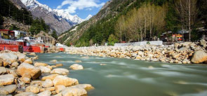
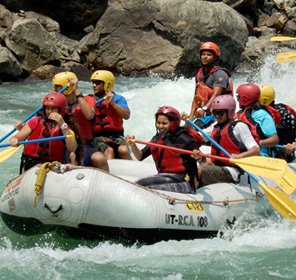
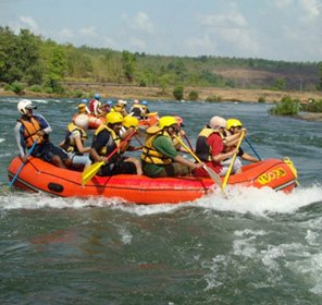
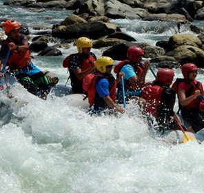
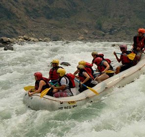
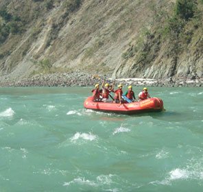
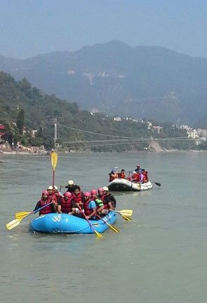
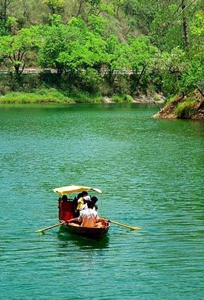
The Kali River presents a thrilling opportunity to undertake white water rafting adventure. With its grade 4 and more rapids, Kali River attracts professional rafters from all over the world.
Extending from Jauljibi to Tanakpur, the breathtaking rafting route is 117 km long and normally takes 3 days to complete. The vigorous river of Kali holds great potential for irrigation and generation of hydroelectricity too.