Blessed with the ethereal beauty of the Himalayas, Uttarakhand is an adventurer’s paradise. Here in its lap, there’s no dearth of trekking opportunities. Both Garhwal Himalayas and Kumaon Himalayas have incredible treks for beginners and seasoned trekkers. Come find your most incredible trekking experience in Uttarakhand with our best tour packages crafted to bring an adventure you’ve never had before!
Know More About Trekking in Uttarakhand
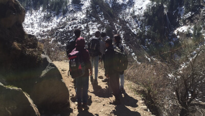
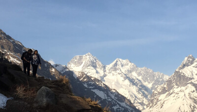
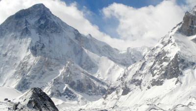
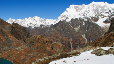
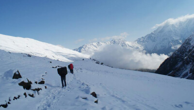
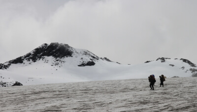
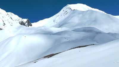
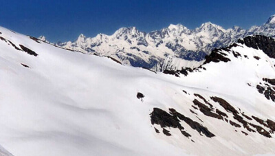
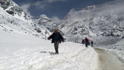
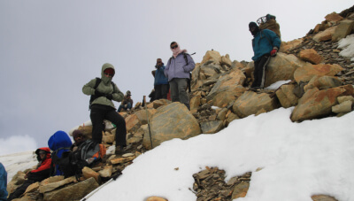
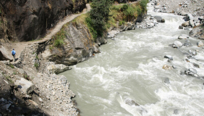
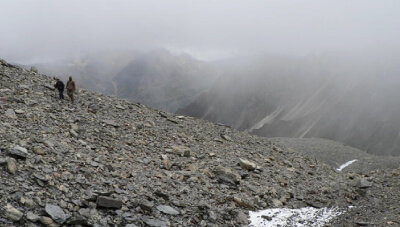
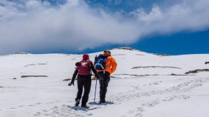
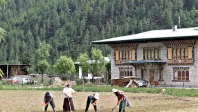
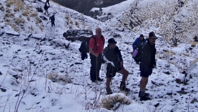
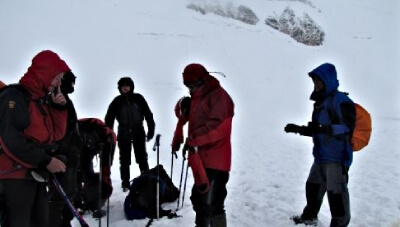
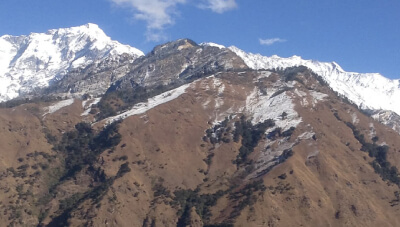
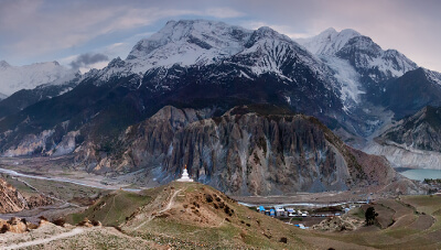
The tricky trails and altitude might get the best of you while trekking in Garhwal Uttarakhand, but nothing beats this experience. In fact, what adds more to the adventure of trekking in the Garhwal Himalayas are the Hindu temples dotting almost every trail.
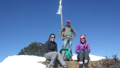
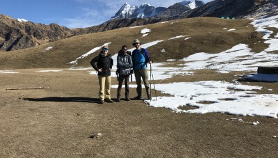
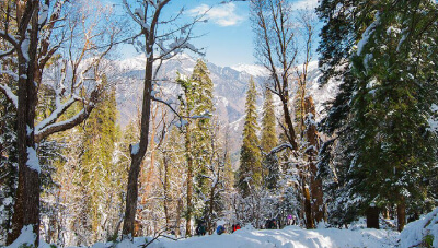
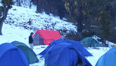
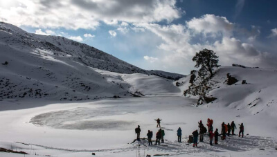
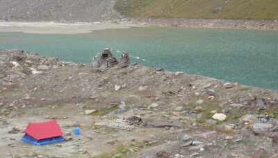
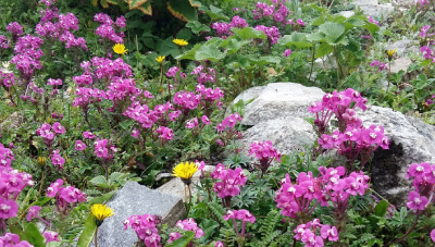
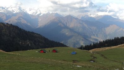
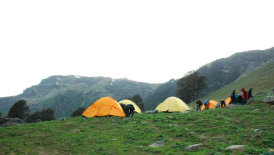
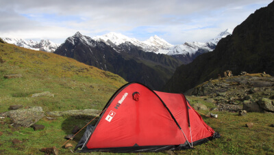
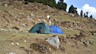
While reaching the high altitude lakes and meadows (bugyals) may seem the biggest adventure in Garhwal, camping under the star-lit sky is also an experience impossible to forget.
About MoreThe best treks in Uttarakhand are:
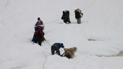
Some of the most difficult treks in Uttarakhand are:
Some of the easiest treks in Uttarakhand are:
Uttarakhand is blessed with many spiritual treks. Some of the best spiritual treks are:
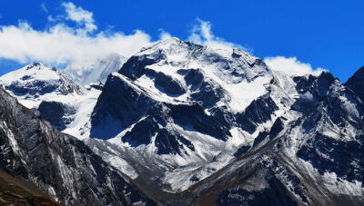
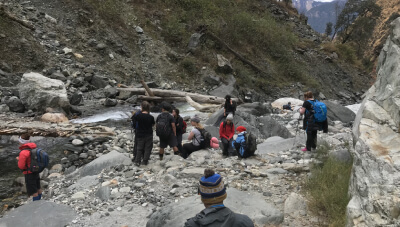
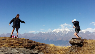
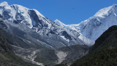
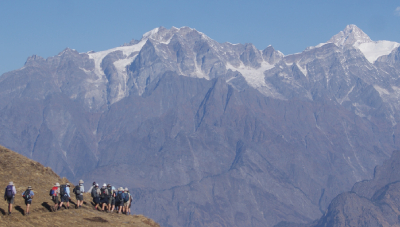
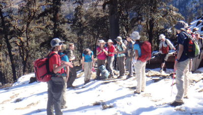
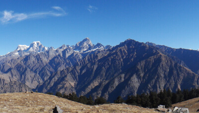
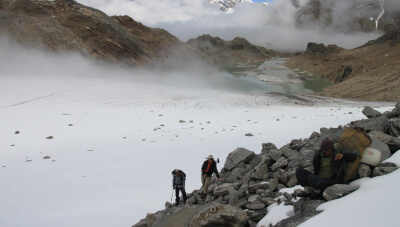
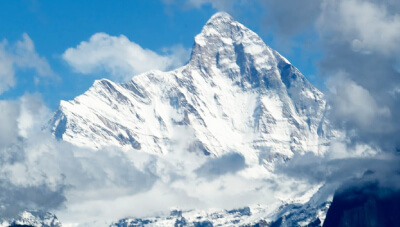
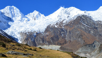
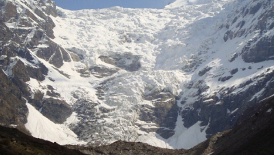
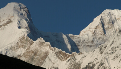
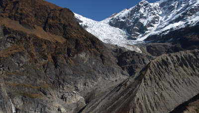
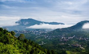
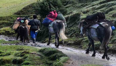
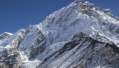
Cut and run through the rugged trekking trails in Kumaon and you’d understand what real adrenaline is. And while your heart pumps and your feet thump, your eye will find solace in the vistas of the second-largest peak in India, impressive glaciers and beautiful meadows.
To top it all, trekking in Kumaon is accompanied with a spiritual vibe awaiting trekkers to soak all in.
About MoreAdi Kailash Yatra trek is one of the most popular religious trekking trails in Kumaon Himalayas.
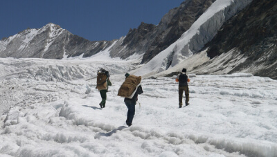
Milam Glacier, Namik, Pindari Glacier and Kafni Glacier are popular glacier trekking trails in Kumaon.
Adi Kailash & Nanda Devi East Base Camp are two popular difficult treks in Kumaon Himalayas.
13 Nights - 14 Days
13 Nights - 14 Days
13 Nights - 14 Days
13 Nights - 14 Days
13 Nights - 14 Days
13 Nights - 14 Days
13 Nights - 14 Days
13 Nights - 14 Days
13 Nights - 14 Days
13 Nights - 14 Days
13 Nights - 14 Days
13 Nights - 14 Days
13 Nights - 14 Days
Usually, no permit or permission is required for trekking in Uttarakhand. However, there are few treks for which an Inner Line Permit (ILP) or permission from SDA Office, LIU, local police or forest department is required.
Yes, mostly every city, town, and village of Uttarakhand has access to cell networks and the internet. However, quite a few treks in Uttarakhand have no phone networks or internet services.
Yes, every trek requires at least a few trekking equipment to be carried in Uttarakhand. We arrange/provide the equipment on the request of the customers.
Uttarakhand is known for its plethora of treks, some of which remain open throughout the year and some can be done in a particular season. Therefore, there is no specific best time to trek in Uttarakhand as it is open for adventurers year round.
Yes, solo trekking in Uttarakhand is quite safe. We create a safe ambiance for trekkers with our expert and well-trained team that is available round-the-clock ensuring safety.
The fitness level requirement changes from trek to trek in Uttarakhand. Some treks require more physical fitness than the others. However, it is worth mentioning that a certain level of physical fitness is required for all the treks in Uttarakhand.
Yes, considering Uttarakhand is one of the best trekking destinations in the Indian Himalayas, one must go on treks being fully prepared. The following are absolutely mandatory on a trek in Uttarakhand:
You are required to bring your government photo identity proof, an undertaking letter/application, and a medical certificate (depending on the trek) to get Inner Line Permit or permission to trek in Uttarakhand.
Yes, even though we stay prepared with all the amenities required to keep you safe, we recommend that you carry all the medicines that you have been prescribed by your doctor. It is also wise to pack medicines for some common health issues like headache, stomach ache, fever, cold, cough, nausea, and AMS.
The weather in Uttarakhand is usually cold. While on a trek, it is likely that the temperature even in the summer season could drop even more significantly due to the elevation. However, the summer season, in general is quite pleasant in Uttarakhand, and the winter on the other hand, can get really chilly.
Yes, a number of treks open during the monsoon season in Uttarakhand that are worth trekking. Valley of Flowers and Hemkund Sahib are amongst the best monsoon treks in Uttarakhand.

An experienced trekking tour operator, with a team of an experienced adventure enthusiast ensure to give our clients well-designed trekking tour packages.
We are certified by major tour and travel associations in India and world like IATA, IATO, TAAI, IMF & MOT (Ministry of Tourism, Govt of India).
TMI has received numerous accolades from its happy customers for its excellent services and best adventure holidays.
We have local office in Ladakh, Uttarakhand, Sikkim, Jammu & Kashmir, & Himachal Pradesh for our customers to find assistance anytime and anywhere.
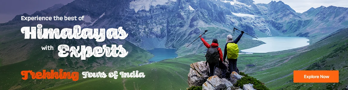
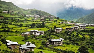
Devbhoomi Uttarakhand is the address to many adventures that make for unforgettable experiences. The Himalayas that beautify the landscape of Uttarakhand are home to innumerable hiking & trekking trails, some popular and some, well are still its best kept secrets. Explore the Uttarakhand Himalayas, and challenge yourself while discovering the sites tucked away in the distant land with our expert trekking tour packages.
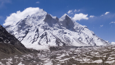
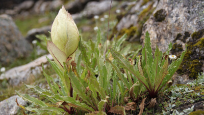
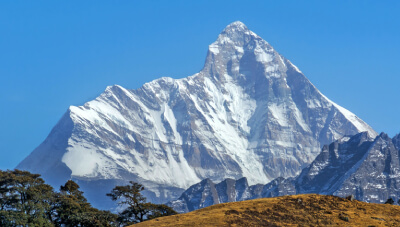
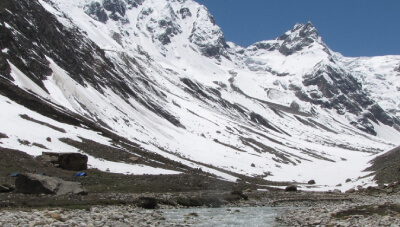
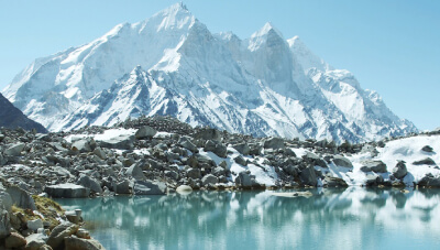
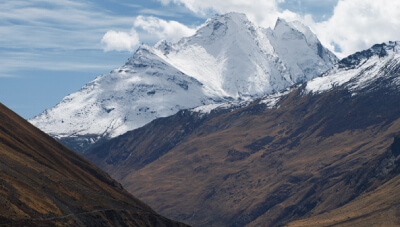
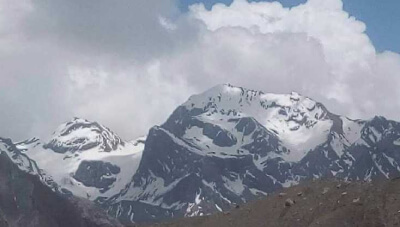
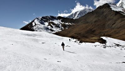
Uttarakhand has a variety of unparalleled trekking experiences – it is home to some of the most beautiful alpine meadows like Bedni Bugyal (3354 m), Dayara Bugyal (3408 m), and Gorson Bugyal (3056 m); India’s second highest peak, Nanda Devi (7816); some of the country’s largest glaciers like Gangotri; and high mountain passes like Kalindi Khal (5950 m).
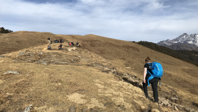
According to the level of difficulties, the treks in Uttarakhand are divided under three categories – easy, moderate and difficult. Each category has a plethora of treks in Kumaon Himalayas and Garhwal Himalayas. The two regions have short treks, long treks, and treks that can be done on weekends.
Nag Tibba, Chopta Chandrashila, Deoriatal, Gorson Bugyal, Binsar Trek, Khuliya Top, Kedarkantha, and Valley of Flowers are some of the easy treks in Uttarakhand. For those looking for some challenging treks in Uttarakhand, the Himalayan state offers treks such as Auden’s Col, Kalindi Khal, Milam Glacier, Ralam Glacier, Rupin Pass, Kedartal, Adi Kailash & Om Parvat, Satopanth Lake etc.
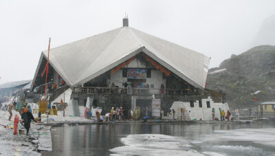
Uttarakhand is rightly called the Land of the Gods, because here the temples of gods & goddess can even be found in the remotest of corners. In fact, there are a number of religious treks that are a must-do in Uttarakhand. The abode of Baba Kedarnath; the holy Sikh shrine, Hemkund Sahib; the distant located, Yamunotri Dham; and the temple with a view, Kartik Swami, all make for some unforgettable religious trekking experience in the state.
We at Tour My India, create the best opportunity for you to immerse in the beauty of Uttarakhand Himalayas. With our top trekking tour packages, you can choose to trek on easy trails or challenge yourself to some of the most difficult treks of Indian Himalayas in Uttarakhand. Whatever your choice be, Tour My India has all the arrangements ready for the trekking expedition and expert guidance for that flawless and hassle-free experience. With us, your experience of trekking in Uttarakhand becomes unmatched!


 +91-9212553109
 Plan Your trip


 Garhwal
 4090 mts
 30 Km
30 Km